
For visiting pilots
Flying here
Everything needed before and during the wave camp — required reading, airspace and paperwork, the airport, and the files for your moving map.
“The best way to get sent to the back of the launch grid is to show up not having studied the published documents.”
Some aspects of safety in wave and mountain flying are presented here, but this is far from a complete discussion, and some of this material is not aimed at beginners. Pilots should strive to develop the judgment that will keep them safe, understanding that mountains such as these can present conditions in which even excellent aircraft and skilled pilots cannot safely fly.
Start here
Required reading
Everyone attending the wave camp is expected to have studied these documents and reviewed the current waiver.
Weather judgment
Mind the window
The wave lives and dies with its window. A day that looks flyable can close overhead within minutes — the question is never whether you are high enough, but whether you can still get down.
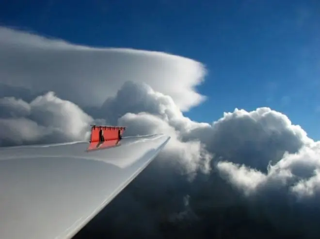
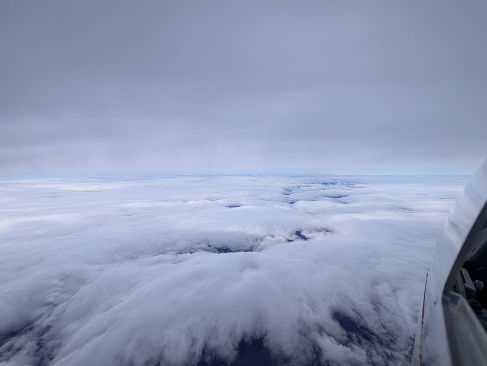
Above 18,000 feet, watch for the upstream openings: if the way in from the west is still clear, you have time. Below that — or on any day when the upstream sky has gone flat — you may get very little warning before the window snaps shut. Keep the downwind escape over Maine in mind as an option rather than a last resort, and choose it while you are still high, not once you are on the cloud tops. The camp's briefings put it shorter still: if it is not clear downwind, don't go up.
Staying sharp
Safety at altitude
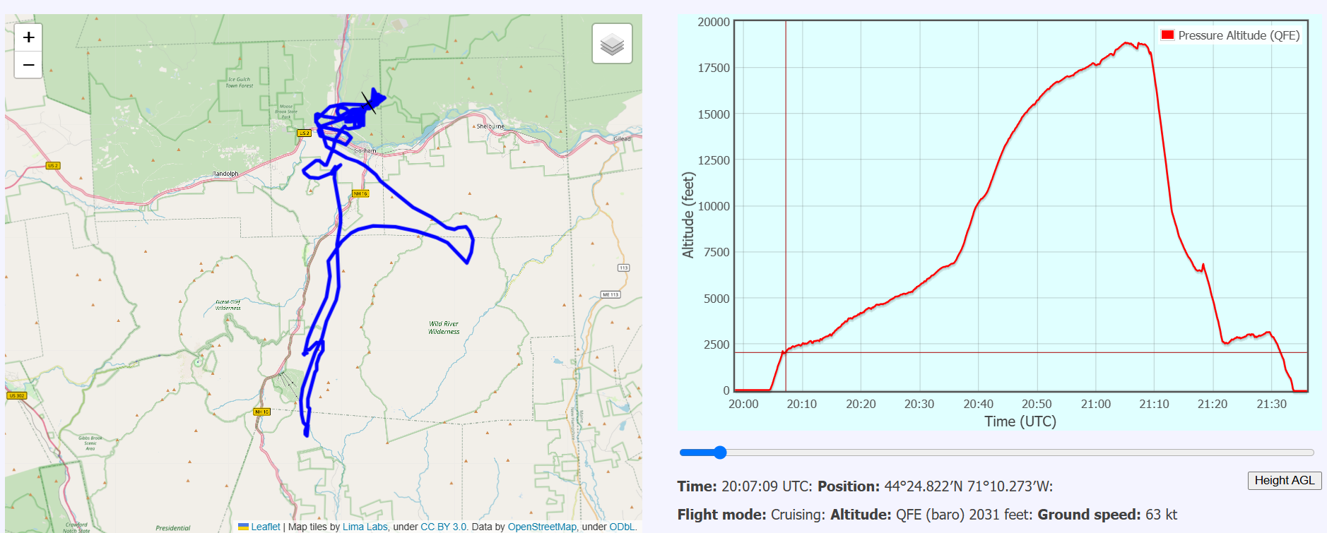
Wave camp climbs routinely end above 12,500 feet, and the good ones above 18,000 — where oxygen, not skill, keeps the decisions sound. Read at least the hypoxia article before you fly high.
Legal & airspace
Airspace and paperwork
The FAA legal interpretations behind the airspace operations. The current waiver itself lives in the required reading above.
Gorham (2G8)
Airport information
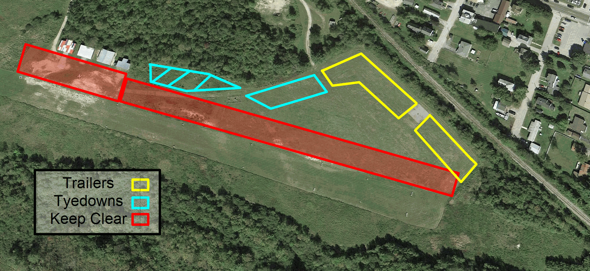
Wave camp operations are based at Gorham Municipal Airport. Print a copy of the procedures — they are briefed at the daily pilots' meetings.
Know the ground
Navigational references
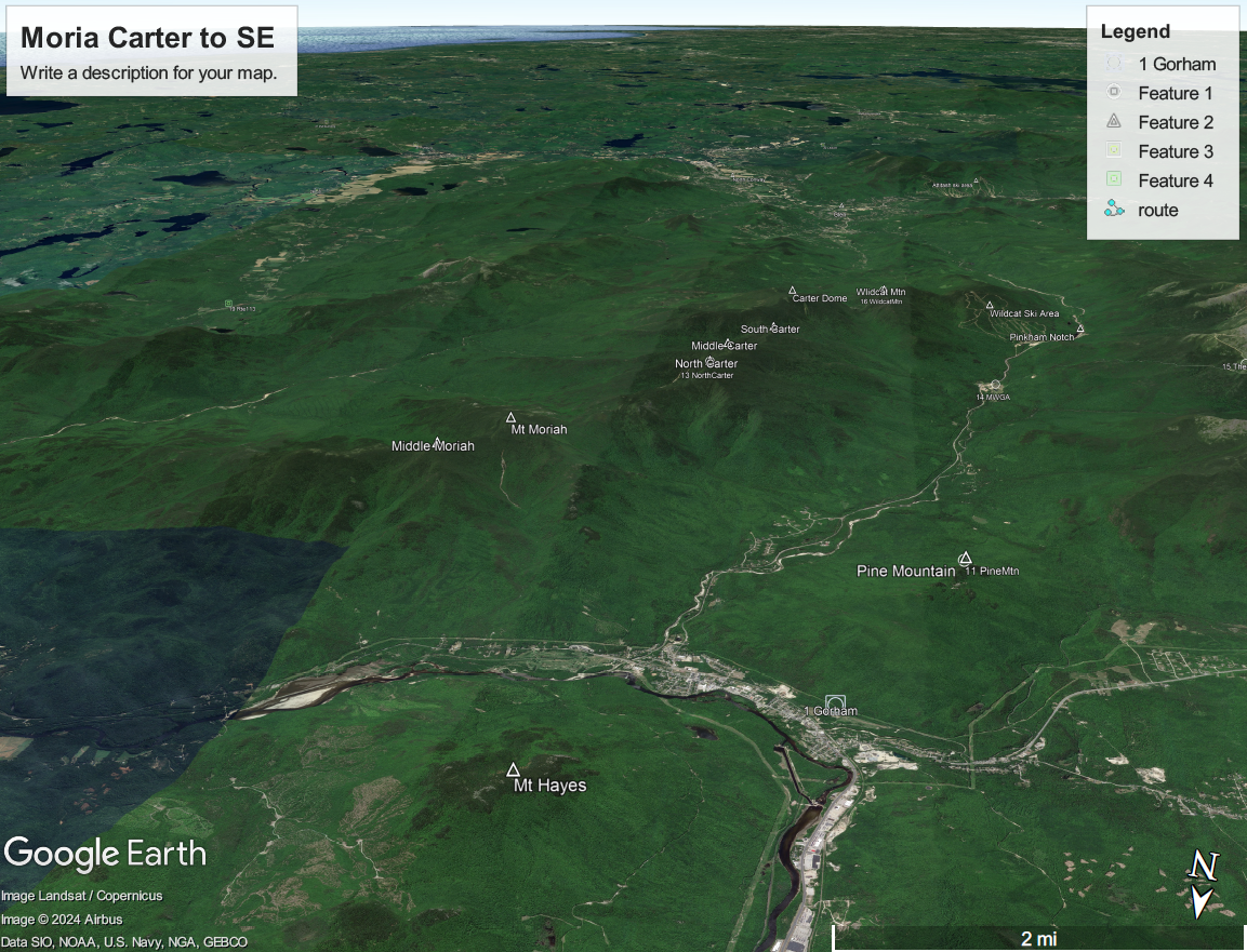
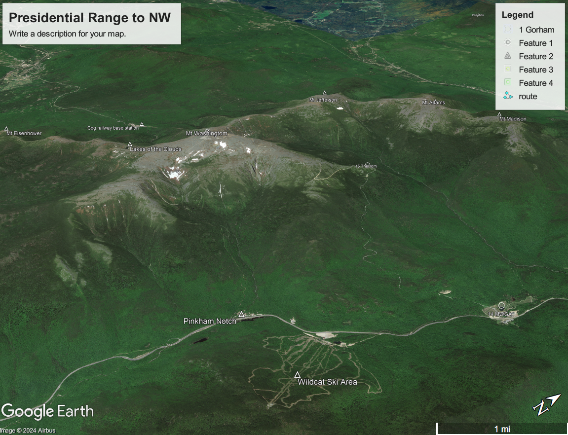
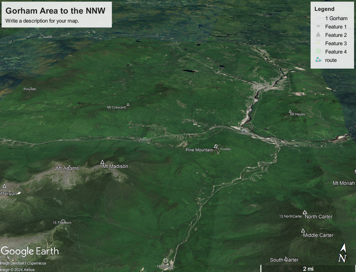
Pine Mountain, Hayes, Carter Dome, Mt Moriah, Madison, Jefferson, Washington, The Horn, Wildcat, The Great Gulf, Tuckerman's Ravine, Huntington Ravine, the Pilot Range and the Crescent Range are all good things to know.
For your moving map
Electronic files
Waypoints, airspace and task files for the Gorham area. Airspace files depict the 10-mile wave airspace (courtesy of Dave Sherrill).
The Gorham, NH waypoint database is also maintained at soaringweb.org/TP/Gorham.
Camp paperwork
Signups and camp documents
The current-season signup sheet, schedule and logistics go out over the email list each fall — write to the list to get on it.
To join the list, write to mwsoaring@googlegroups.com.
Going somewhere
Wave cross-country flights
When flagpole sitting in wave becomes routine, the area offers meaningful cross-country routes — but the landing options on the northern routes are sparse and sometimes distant from the course line.
The original “Mt. Washington Area Wave Cross-Country Glider Flights” document describes some possible routes. Not only the condition, but even the existence of some of the reported landing areas must be confirmed before attempting these routes. The original file has not been recovered — if you have a copy, please write to mwsoaring@googlegroups.com.